 vesseltracker.com
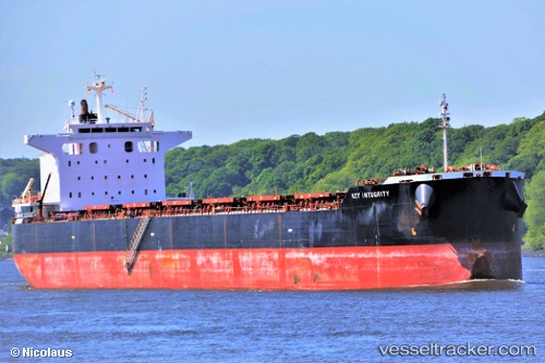
Vessel MAGIC THUNDER IMO: 9442407, MMSI: 538009377 Bulk Carrier
UTC, 23.03911, 113.51949, course: 19, speed: 0
UTC, 23.03909, 113.51947, course: 19, speed: 0
2026-02-21 14:09:37 UTC, 23.03905, 113.51950, course: 19, speed: 0
Live AIS position:
UTC. Near MCID - Private Terminal),
updated 2026-02-21 14:09:37 UTC.
Find the position of the vessel MAGIC THUNDER on the map. The latter are known coordinates and path.
marine traffic ship tracker show on live map
The current position of vessel MAGIC THUNDER is 23.03905 lat / 113.51950 lng. Updated: 2026-02-21 14:09:37 UTCCurrently sailing under the flag of Marshall Islands
MAGIC THUNDER built in 2011 year
Deadweight:
83375 tDetails:
Last coordinates of the vessel:
UTC, 23.03833, 113.51833, course: -1, speed: 0UTC, 23.03911, 113.51949, course: 19, speed: 0
UTC, 23.03909, 113.51947, course: 19, speed: 0
2026-02-21 14:09:37 UTC, 23.03905, 113.51950, course: 19, speed: 0